One-sentence description
YardMeasure helps landscaping contractors measure outdoor areas from satellite imagery, calculate materials and service prices, and keep customers, job sites, estimates, schedules, invoices, and payment activity connected.
What makes it useful
- Free satellite area measurement and twelve job-specific calculators.
- A measured area can move directly into material planning or mowing pricing.
- Contractors can save customers and properties, send trackable estimates, schedule work, convert accepted estimates to invoices, and record payment activity.
- The focused workflow is designed for small contractors who do not need a large enterprise CRM.
- Core tools are free during early access with no card required; planned Founding Pro pricing is shown publicly before paid plans begin.
See the product
Watch the product walkthrough, follow the complete contractor workflow, or try satellite measurement. Public estimate and invoice examples show the customer-facing output without requiring an account.
Brand assets
- Download the YardMeasure mark (SVG)
- Download the YardMeasure social image (PNG)
- Download the product walkthrough poster (JPG)

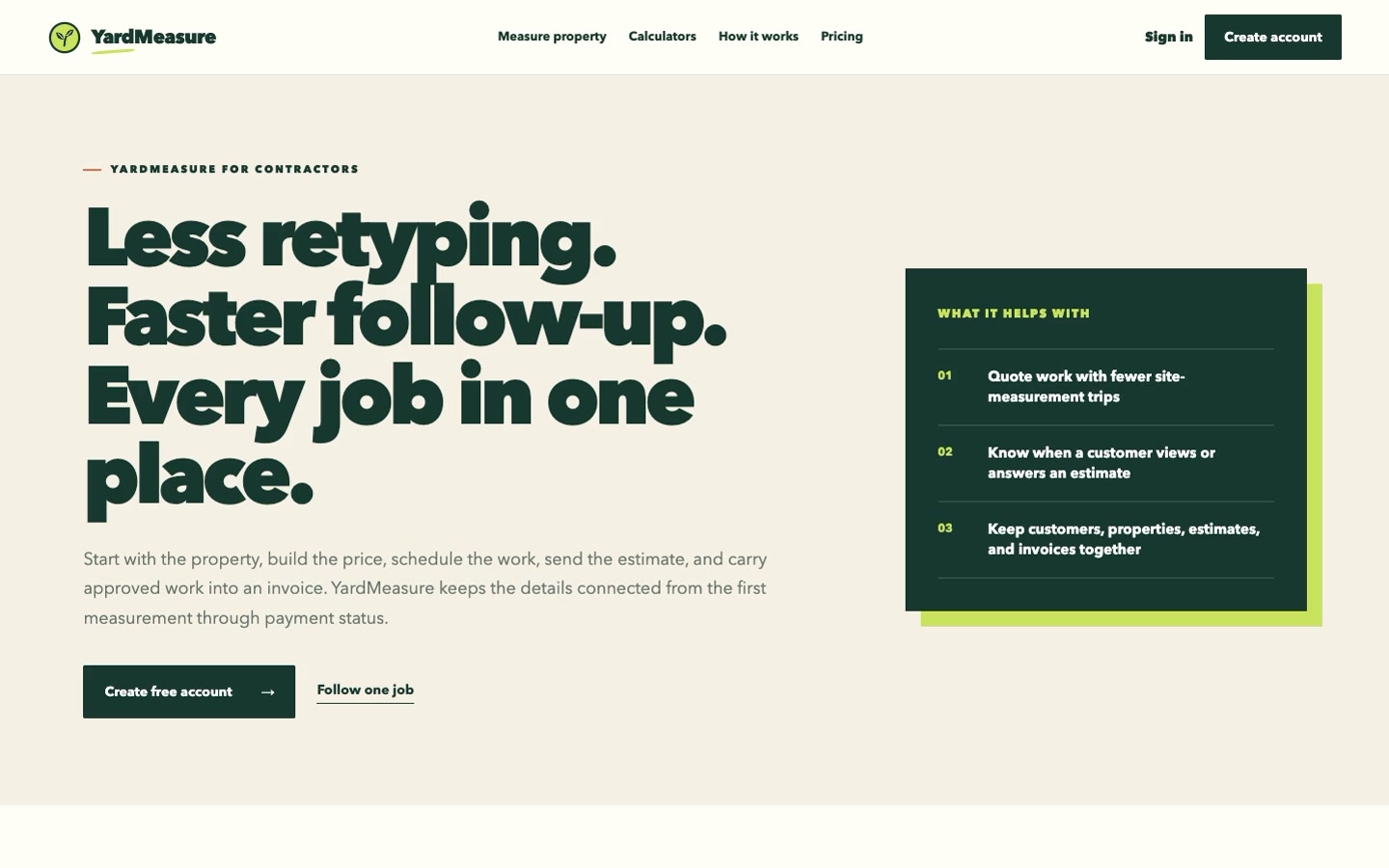
Please use the name “YardMeasure” as one word and do not imply that planning calculations replace on-site verification, product specifications, engineering, codes, or qualified professional guidance.
Story angles
- Why surface area is only the first step in a defensible landscape estimate.
- How small contractors can reduce duplicate entry between measurement, estimating, scheduling, and invoicing.
- Why a minimum visit price and real crew production rate matter when pricing mowing work.
- How customer-view activity can make estimate follow-up better timed without becoming a complicated sales system.
Contact and disclosure
Email hello@yardmeasure.com. YardMeasure software is operated by Prop Money Inc. Calculations are planning aids and should be verified for the specific property, product, and local requirements.